


Innovation & Technology
Introducing advanced tools for monitoring, prevention, and response to fire events, forming the technological backbone of territorial protection.



FIRST NATIONS-LED CLIMATE RESILIENCE
First Nations-led solutions on climate monitoring, adaptation, security, and resilience in the Pantanal, the world's largest freshwater wetland.
Explore the program ↘Protect and regenerate 2 million acres of Indigenous Lands and other protected territories in Pantanal over the next four years through a shared resilience framework co-created by Indigenous communities, Terra Brasilis, Neotrópica, umgrauemeio/Pantera, public institutions, local brigades, and strategic partners.
This approach integrates environmental & territorial monitoring, fire management, ecological restoration, enhanced sustainable livelihoods, and coordinated governance.
The SafeLands Program aims to build an integrated network among Indigenous peoples living in the Pantanal Wetland (Mato Grosso do Sul and Mato Grosso) to strengthen livelihoods, territorial protection, fire management, and ecological regeneration of the Pantanal.
The proposal combines technology, reforestation, agroforestry, income generation, brigades, equipment, community communication, and public governance into a comprehensive architecture of territorial resilience. It builds on existing Indigenous initiatives, including nurseries, seedling production, restoration, community training, and monitoring through towers and cameras.
Through the Pantera Platform, the project will organize real-time data on fire events, alerts, burn scars, recurrence, risk, and response, supporting Indigenous brigades, communities, public institutions, and technical partners. Several territories are already within the range of existing cameras, providing a foundation for expanding protection and planning new towers across the Pantanal to cover 1.5 million Acres.
The goal is to secure £2 million over a 4-year cycle to consolidate a territorial protection network connected to State, Federal, and frontline communities. Funding will support technology, towers, equipment, brigades, reforestation, agroforestry, biodiversity monitoring, nurseries, food security, income generation, governance, and Indigenous communication.
By integrating fire prevention with ecological regeneration, the project seeks to ensure that reforestation and restoration efforts are sustained over time. It recognizes that restoring the Pantanal requires more than planting trees: it demands protecting traditional territories, strengthening communities, anticipating risks, mobilizing rapid responses, and building local capacities to live with fire in a safer, smarter, and regenerative way.
This program aims to strengthen the resilience of Indigenous territories in the Pantanal through integrated strategies that combine environmental protection, sustainable Integrated Fire Management (MIF), and ecosystem regeneration while promoting community sustainability for healthy livelihoods.
The Safe Lands Program is an integrated strategy to strengthen the territorial and environmental protection architecture through fire management, ecological resilience, regeneration, and Indigenous sustainability on lands connected to the world's largest freshwater Wetland (the Brazilian Pantanal).
The initiative builds upon existing experiences in restoration, reforestation, agroforestry nurseries, community training, Indigenous fire brigades, territorial monitoring, and applied technology for fire management in Mato Grosso do Sul and Mato Grosso, emphasizing integration to achieve greater impact.
It builds on a concrete opportunity: several Indigenous territories are already within the monitoring range of cameras and infrastructure operated by the Terra Brasilis Institute, in partnership with Umgrauemeio and the Neotrópica Foundation. The current network provides a strong foundation for protecting, organizing territorial and environmental monitoring, strengthening fire brigades, and establishing an integrated response system in collaboration with APIB, ACIRK, and the Terena Council. The proposal consolidates ongoing efforts with the Terena, Kadiwéu, Kinikinao, and Guató peoples, in partnership with the aforementioned institutions, as well as PrevFogo/IBAMA and FUNAI/MPI.
Our goal is to implement a cost-effective strategy that enhances food security, improves access to clean water, and equips Indigenous leaders with tools to safeguard territorial integrity. This includes preventing invasions, illegal logging, and wildfires. The estimated program cost is approximately 1 pound per acre, covering a total area of 2 million Acres over a 4-year cycle (£0,25/Acre/year) for monitoring Indigenous Lands and other Protected Areas.
The total indigenous population of these territories is around 50,000, with a large contingent (20,000) living in nearby urban centers, while the overall population is around 250,000.
Introducing advanced tools for monitoring, prevention, and response to fire events, forming the technological backbone of territorial protection.
Training and empowering Indigenous-led brigades and communities to manage conservation, restoration, and fire response.
Restoring native vegetation, wildlife protection, and prospecting ecosystem services, supported by nurseries and agroforestry.
Linking ecological restoration with community-based economic opportunities.
Strengthening governance and territorial infrastructure to ensure resilience and autonomy.
Support female leadership and youth to organize their economic activities and communication skills to enhance family wellbeing and cultural strength.
Indigenous communities · Local brigades and PrevFogo · State, federal, and public institutions · Pantera technology platform · Monitoring towers and cameras · Biodiversity monitoring · Nurseries, reforestation, and agroforestry systems · Sustainable income Generation, through agriculture and animal husbandry · Community communication networks · Applied science · Territorial Governance and Security
The project seeks to raise £2 million to implement the strategy over 4 years, consolidating foundational work and expanding networks of towers, nurseries, capacities, and regeneration actions across key Indigenous territories.
The Instituto Terra Brasilis de Desenvolvimento Socioambiental is a Brazilian non-profit organization established in 1998 and currently based in Brasília, Distrito Federal, focused on biodiversity conservation, sustainable use of natural resources, protected area management, environmental education, public policy support, and the strengthening of Indigenous Peoples and Traditional Communities. Its mission is to inspire people to protect Brazilian biomes through resilient communities and actions that promote coexistence with biodiversity and cultural heritage. Within the SafeLands Program, Terra Brasilis’ role is to strengthen Indigenous territorial governance, fire management, and animal husbandry, especially through its experience with the Kadiwéu people in the Pantanal and with the Roraima Indigenous Council in Roraima, where ITB collaborates on Integrated Fire Management, biodiversity conservation, and community-based territorial protection.
Team: Reinaldo Lourival - PhD; Angelica Guerra - PhD; Mariza Silva PhD; Jussara Ramos - ControllerThe Neotrópica Foundation of Brazil is a non-profit organization founded in 1993, based in Bonito, Mato Grosso do Sul. For more than three decades, it has worked on biodiversity conservation, ecosystem restoration, environmental education, community strengthening, and support for environmental public policies, especially across the Pantanal, Cerrado, and Serra da Bodoquena regions. Within the SafeLands Program, its mission is to lead the territorial regeneration front, connecting ecological restoration, nurseries, seedling production, income generation, and community engagement to the broader architecture for Pantanal protection and resilience.
Team: Kwok Chiu, PhD; Guilherme Dalponti, MSc.umgrauemeio is a Brazilian fire-tech company founded in 2016, based in Jundiaí, São Paulo, focused on early warning systems for wildfire intelligence, territorial protection, and climate resilience. Its core technology is Pantera, an AI-based platform that integrates fire detection cameras, satellite data, risk intelligence, incident management, response coordination, and operational reporting. Within the SafeLands Program, umgrauemeio and Pantera provide the technological backbone of the project, expanding real-time fire monitoring, supporting Indigenous brigades and local partners, generating territorial intelligence, and strengthening the long-term protection and resilience architecture of the Pantanal.
Team: Osmar Bambini MSc.; Júlia Castelli; Thaís Silva.Our proposal operates under the assumption of a conceptual model in which a connected chain of events, if aligned, will deliver the expected outcomes. So our theory of change proposes that if Indigenous and Traditional Communities are equipped with technology, training, governance structures, and sustainable income opportunities, then they can protect their land and regenerate key areas in the Pantanal, ensuring ecological resilience and cultural persistence.
This theory can be summarized in the following main areas of operation (Bold), followed by the set of activities addressed in each box.
Funding and partnerships; technology and equipment; Indigenous knowledge
Fire monitoring; rapid response; integration with situation rooms
Expanded monitoring; structured situation rooms; trained brigades
Reduced burned area; faster response time; stronger territorial protection
A more resilient Pantanal ecosystem
Indigenous knowledge; institutional partnerships; technical training
Brigade training; strengthening Indigenous leadership; adapting technology to local needs
Trained brigades; local response protocols; better-prepared communities
Empowered Indigenous Peoples; greater autonomy in territorial management
Indigenous Peoples leading territorial protection and resilience focused on Women and Youth
Nurseries; seedlings; local knowledge; technical support
Seedling production; restoration of degraded areas; implementation of agroforestry systems
Seedling production; agroforestry systems; areas under regeneration
High seedling survival; ecological recovery; reduced environmental vulnerability
Regeneration of the Pantanal and strengthened biodiversity
Partnerships; training; nurseries; local productive chains; implementation Fund
Development of productive activities linked to restoration, arts and crafts and territorial protection
Agroforestry systems; productive nurseries; local income opportunities
Sustainable incomes; reduced dependence on extractive or high-risk activities
A territorial resilience model supported by local economic opportunities
Funding, technology, Indigenous governance, data, and partnerships
Integration of monitoring, capacity building, restoration, and income generation
Consolidated methodology; impact indicators; tested institutional arrangement
Model applicable to other Indigenous territories and wetland landscapes
A replicable model for climate and territorial resilience
Mato Grosso do Sul / Pantanal and transition zones with the Cerrado

The Pantanal is the largest continuous freshwater wetland on Earth, shared among Brazil, Bolivia, and Paraguay, and its integrity depends on the integrity of its headwaters, transition zones, savannas, dry forests, gallery forests, grasslands, and traditional territories. It is also the most biodiverse of the wetlands of global importance, with wildlife densities of caymans, waterfowl, and fish that attract a large contingent of nature-based tourists.
In recent years, intensifying droughts, rising temperatures (including heatwaves), agricultural expansion, ecosystem degradation, and severe, recurrent fires have made protecting the Pantanal a permanent challenge.
The agricultural expansion (e.g., soy and sugarcane) in and around the Pantanal is putting a lot of pressure on Indigenous lands, including infrastructure such as roads, hydroelectricity, mining, and waterways. Indirect threats from these activities, including chemical contaminants in water, changes in flow regimes, and damming headwaters, are leading to the insularization of these traditional ways of living.
Indigenous territories in Mato Grosso do Sul and Mato Grosso play a central role in agendas such as conserving biodiversity, safeguarding strategic landscapes, maintaining cultural practices of territorial management, and sustaining ways of life directly linked to the land. In the Pantanal, droughts and floods are the factors that ultimately determine life and death, as well as local livelihoods, sustaining food security, social cohesion, and ecosystem regeneration.
The project recognizes that the resilience of the Pantanal depends on protecting these mosaics of territories, strengthening traditional communities, and creating an operational network capable of anticipating risks, detecting fires, mobilizing brigades, restoring degraded areas, and sustaining economic activities compatible with conservation.
To build an integrated Indigenous network for protection, fire management, and regeneration of the Pantanal, connecting technology, communities, brigades, reforestation, agroforestry, income generation, and territorial governance. This proposal envisions the Pantanal as a living territory of cooperation among Indigenous peoples, public institutions, civil society organizations, applied science, and technology.
01Where are fires starting and occurring, and which territories/communities are at most risk?
02How is biodiversity responding to fires, and which restored areas are most vulnerable to extreme events (fire/floods)?
03Which areas are already protected by the existing camera network, and where are new towers needed?
04Which communities require more equipment and training, beyond the brigades?
05Which fire/flood events represent real threats, and how can they be prevented?
06Which data can support public policy, climate finance, and territorial governance and security?
07How can regeneration and food/water security be transformed into sustainable income for Indigenous groups, while reinforcing fire protection strategies?
08how the tower infrastructure can be used for other biodiversity monitoring devices (i.e., acoustic)
Expansion of monitoring towers, use of the Pantera platform, fire detection, data generation, and territorial intelligence
Provides real-time monitoring, early detection, and operational visibility for fire management and territorial protectionTraining and organization of Indigenous brigades, local teams, and community-based response operations
Strengthens local capacity to prevent, monitor, and respond to fire eventsField equipment, communication systems, operational tools, vehicles, protective gear, and infrastructure for response
Ensures that communities and brigades have the necessary means to act effectively in the territoryEcological restoration, seedling production, agroforestry systems, and sustainable income activities
Connects environmental recovery with local livelihoods and long-term territorial resilienceCoordination between Indigenous communities, public institutions, civil society, funders, and technical partners
Creates the institutional and community alignment needed to sustain the program over time, particularly engaging female leaderships and creating opportunities for younger generations.The technological foundation will be built on the Pantera Platform, integrating cameras, towers, artificial intelligence, satellite data, alerts, reports, and support for territorial operations.
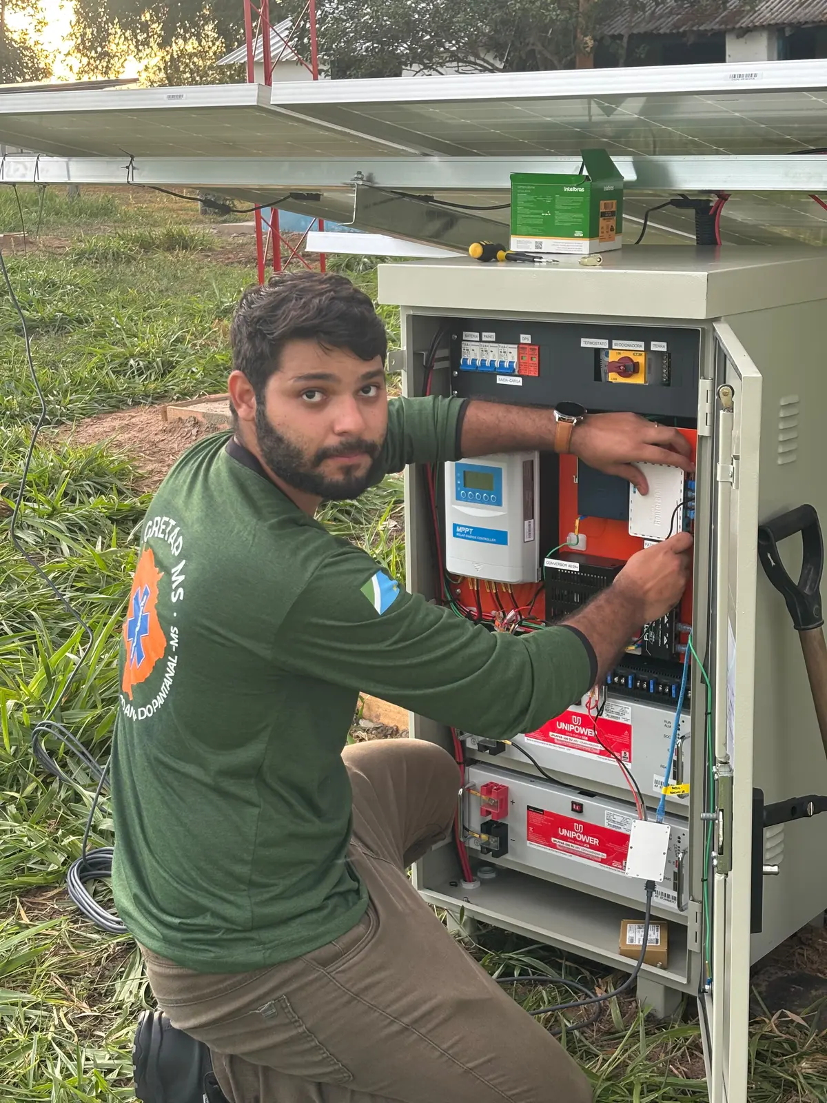
This technology will enable real-time monitoring of areas within camera range, detection of heat sources and fire scars, classification of fire events, and automated alerts for brigades and managers, while also supporting Indigenous situation rooms, generating territorial reports and evidence, integrating with state and federal institutions, guiding strategic tower expansion, and producing data to demonstrate impact, risk reduction, and the protection of restored areas. A module to detect and anticipate critical flood zones will be incorporated into the platform.
The proposal leverages existing infrastructure in the Pantanal and connected regions, particularly the Terra Brasilis 8 tower network, which already monitors strategic areas such as the Kadiwéu Indigenous Land, Serra da Bodoquena National Park, and Rio Negro State Park, all in Mato Grosso do Sul.
Tower expansion network will be key, guided by real risk data, fire recurrence, territorial vulnerability, community presence, reforestation areas, brigade response capacity, and, eventually, flood risk analysis and extreme weather conditions that cause natural catastrophes and their impacts on Indigenous communities.
In addition to the early warning capabilities provided by the Pantera Platform, we are evaluating the deployment of a squadron of 4 large-capacity drones. Each drone would carry a 150-liter payload and be equipped with four retardant-dispersion devices. This configuration would enable a rapid initial response, allowing early extinguishment of emerging fires or, at the very least, delaying their advance until fully equipped ground and aerial units arrive on site.
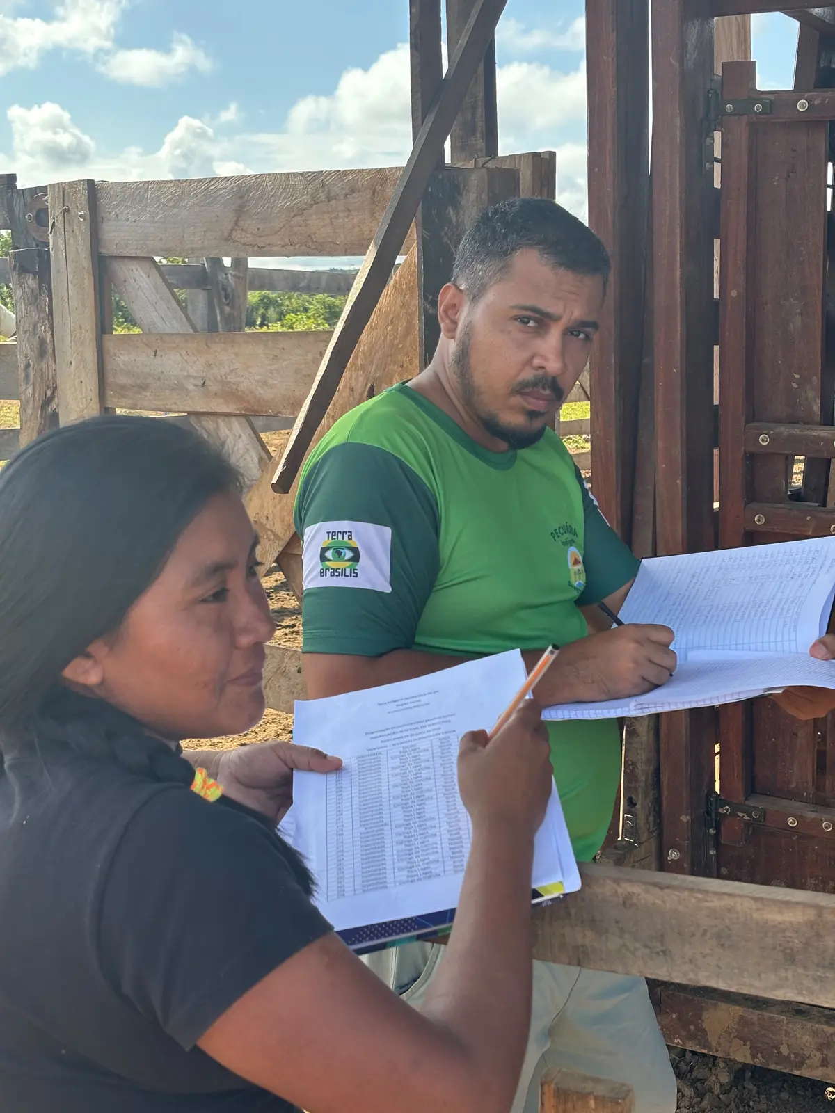
This axis is dedicated to strengthening the people who know, protect, and manage their territories, ensuring that technology translates into real response capacity. It encompasses the training and empowerment of Indigenous brigades, support for PrevFogo brigades and volunteers, and capacity-building for the effective use of the Pantera Platform. Clear protocols for alert reception and validation, systematic field occurrence registration, and data-driven decision-making will guide operations, while route and sector planning will prioritize critical areas.
Communities will be equipped to conduct prescribed burns and manage wildfires in accordance with strict safety standards. Leadership development will include women and youth, connecting fire management to restoration and regeneration. Embedding these practices ensures monitoring leads to actionable territorial protection.
This axis ensures that brigades and communities have the practical means to operate the territorial network, equipping them with funds, essential tools and infrastructure to act effectively on the ground. It provides personal protective equipment, blowers, fire beaters, backpack pumps, and other field tools, along with radios, rugged cell phones or tablets, GPS units, solar chargers, power banks, and connectivity kits to ensure communication and mobility. Situation rooms are supported with laptops, screens, printed maps, and digital forms, while nurseries and restoration efforts benefit from specialized equipment for seed collection and seedling production. In addition, communication kits empower Indigenous youth communicators to strengthen local engagement and knowledge sharing. By integrating firefighting equipment, communication systems, digital infrastructure, and regeneration resources into a single operational framework, the proposal creates a cohesive and resilient network capable of protecting and restoring the territory.
This axis links fire protection, ecological restoration, and sustainable income. The project prioritizes engaging indigenous communities in native seedling production, nursery integration, and fire protection for restored landscapes. Income generation will be driven by value chains for community products, with a focus on empowering women and youth. This integrated approach supports both environmental resilience and socio-economic empowerment.
The experiences of the Terena and Kadiwéu people provide a strategic foundation for advancing restoration in the Pantanal. The Terena Council already demonstrates effective practices in ecological restoration, agroforestry, seedling production, community training, and the strengthening of Indigenous value chains. Building on this foundation, the SafeLands Program proposes to expand these efforts into a broader territorial architecture for Pantanal protection, with a central focus on safeguarding investments in regeneration. In fire-prone territories, restoration and planting only achieve lasting impact when reinforced by continuous monitoring, well-trained brigades, rapid response capacity, and robust local governance—ensuring that ecological gains are protected and communities remain resilient.
Governance will connect Indigenous communities, partner organizations, and public institutions into a territorial protection network.
The proposal emphasizes a networked governance model that bridges territorial knowledge, public capacity, and applied technology.
Years 1–2 Mapping Indigenous territories already covered by cameras, identifying gaps, organizing fire data, structuring alert and response flows, engaging Indigenous leadership, connecting with PrevFogo and state partners, and preparing technical plans for resource mapping, food & water security gaps, and Tower/Brigade expansion.
Years 2–3 Activating new monitoring points, strengthening brigades with equipment and training, expanding Pantera use, producing periodic fire and risk reports, monitoring restored areas, supporting nurseries and agroforestry, and consolidating protocols among communities, state, and federal institutions. While financing catalytic infrastructure for Integrated Fire Management, water provision, and food security.
Years 3–5 Expanding the tower network to new Indigenous territories, consolidating Indigenous situation rooms, producing cumulative impact reports, generating data for climate finance, strengthening restoration and income chains, supporting integrated fire management policies, and systematizing the Safe Lands model for replication in other territories.
The expansion of towers will be one of the project’s key structural deliverables. The existing network already provides a solid foundation for territorial monitoring. Building on this base, the project will identify Indigenous lands and regeneration initiatives currently under direct or indirect coverage of the existing cameras.
Based on the initial assessment, new towers may be installed to:
The expansion should be progressive, guided by risk, impact, and operational feasibility.
These estimates reflect the projected costs of implementing all partner activities over the five-year program cycle. Approximately 70% of all resources will be invested directly in field operations and infrastructure — driving tangible on-the-ground impact and delivering measurable benefits to Indigenous communities across the Pantanal.
"This budget must be further refined in alignment with the final design, considering the defined number of towers, prioritized territories, local infrastructure costs, brigade equipment requirements, the scale of restoration activities, and the anticipated level of technical support."
The Current consortium—composed of Terra Brasilis, Neotrópica, and Umgrauemeio—is already active in the region through grants that support monitoring of the Kadiwéu reserve and the Rio Negro State Park, where eight high‑definition cameras powered by the Pantera artificial intelligence system are in operation. Unfortunately, three additional cameras serving the area are scheduled for decommissioning in 2026 due to funding constraints, leaving critical surveillance gaps. Our proposal seeks to integrate these initiatives and expand coverage by installing at least three new cameras in southern Pantanal zones that have recorded alarming wildfire activity, ultimately protecting a total of 2 million acres. Current investments in this network include R$5 million from Petrobrás over three years and R$2 million from FUNBIO/GEF. With these resources, we will extend monitoring to 6–7 new Indigenous Lands, 3 private reserves, and 1 municipal biological station, 1 State and 1 National Park, strengthening both environmental protection and community resilience.
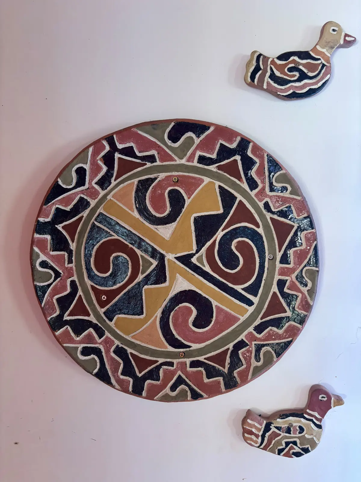
Images and records from the territories, communities, field activities, monitoring operations, and landscapes connected to SafeLands.
99 photos · 12 videos


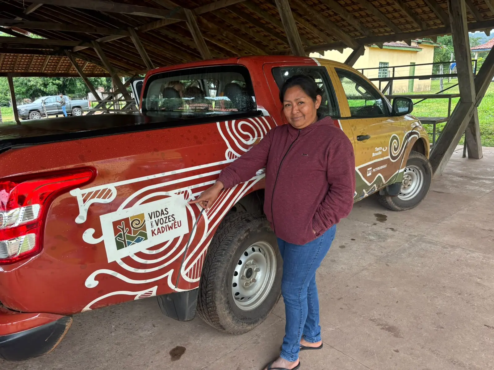


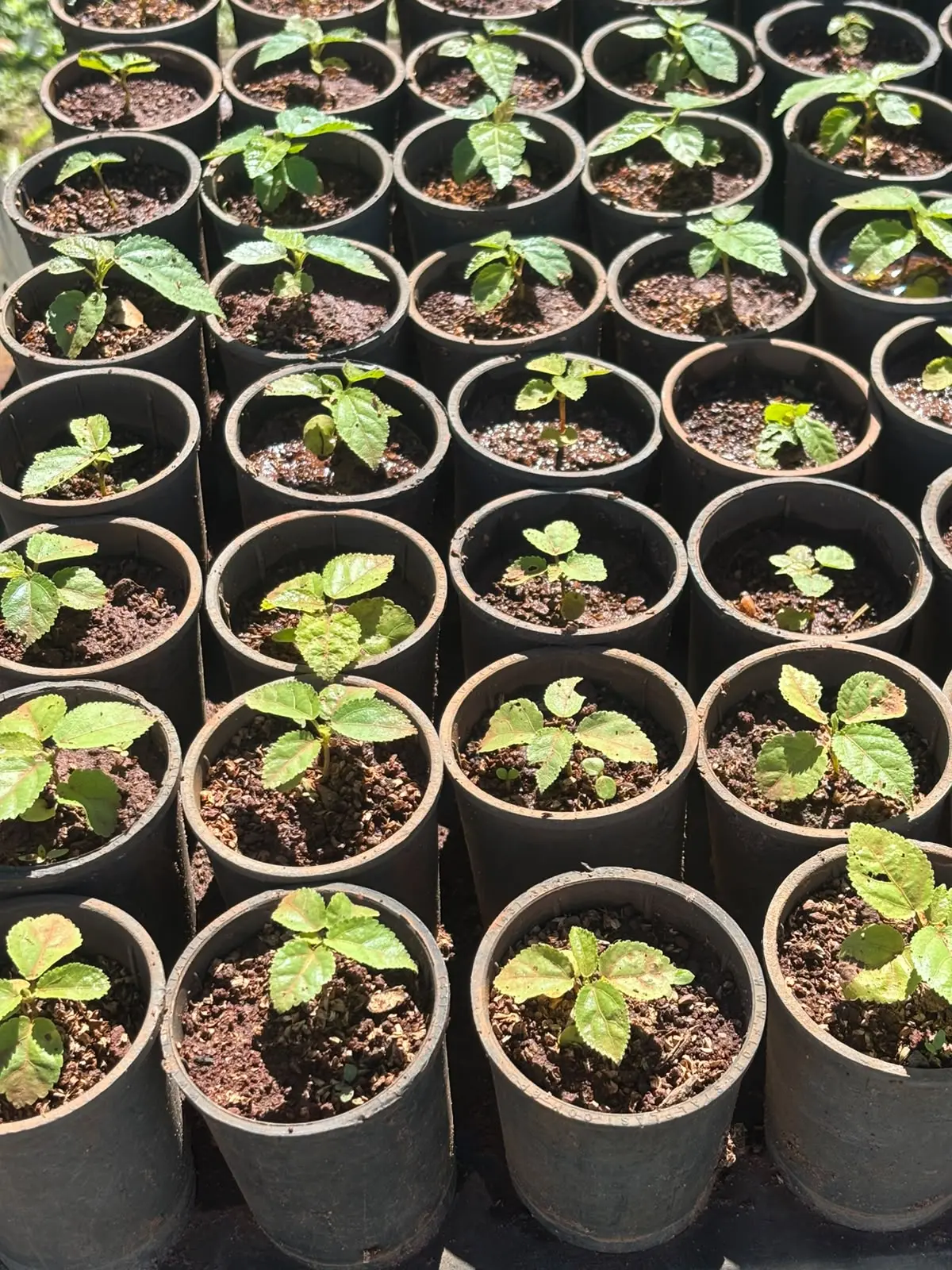


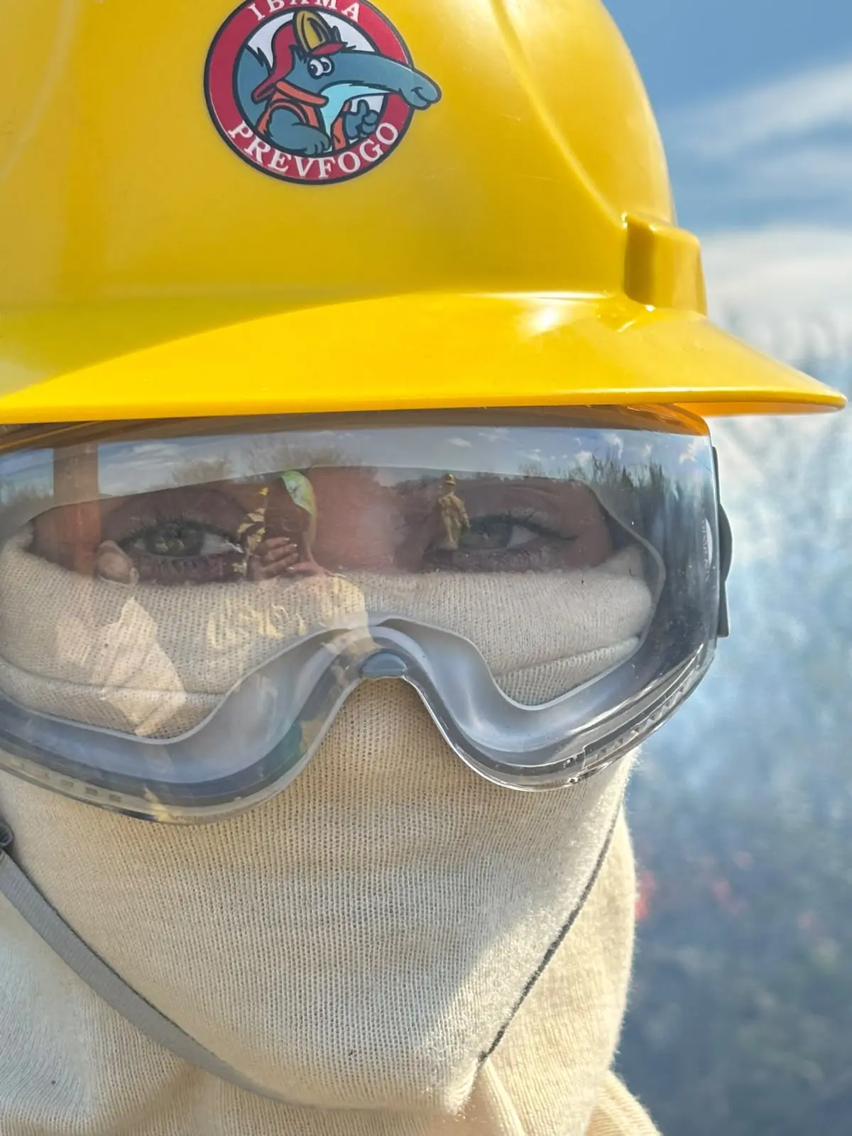
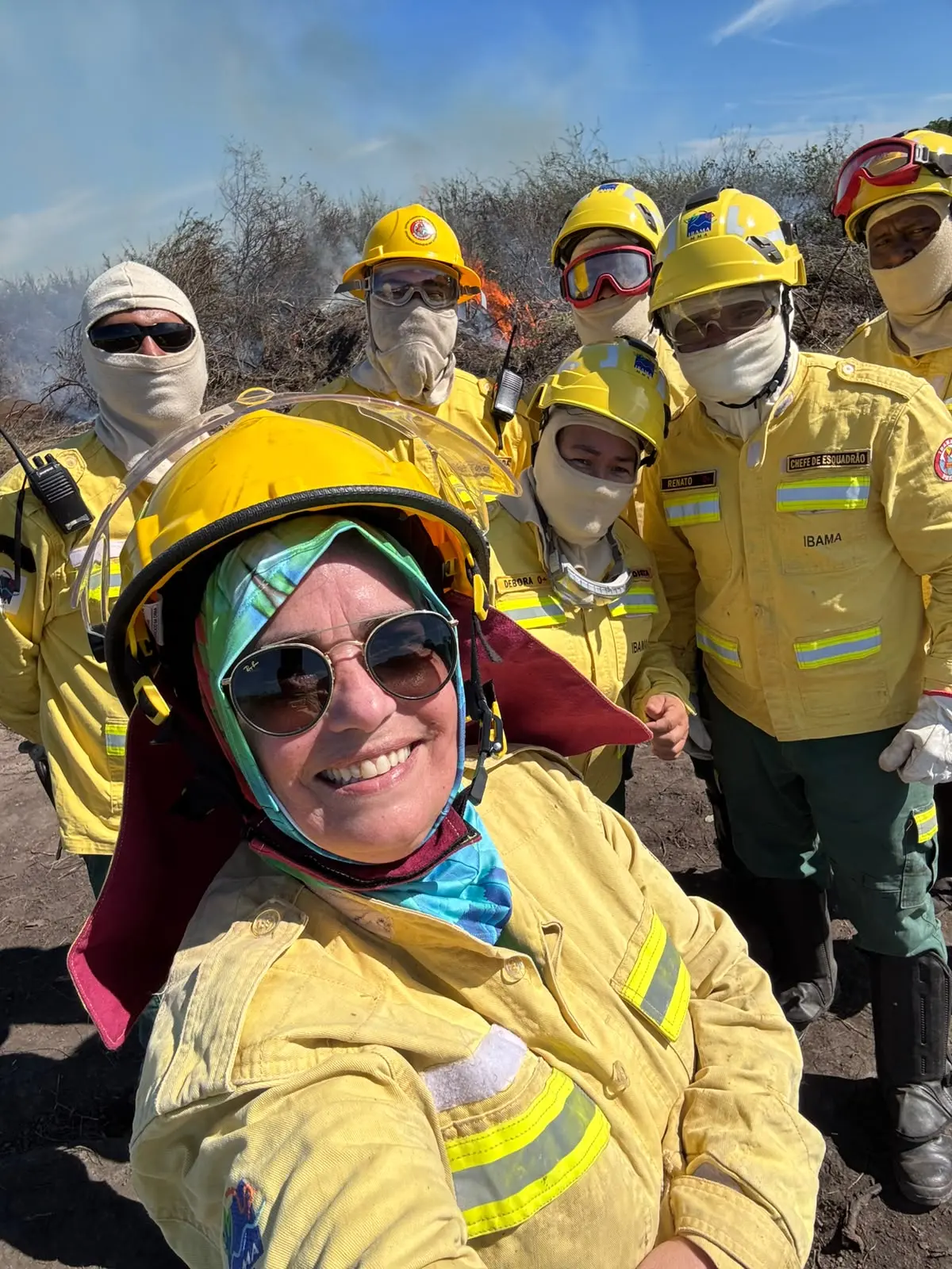
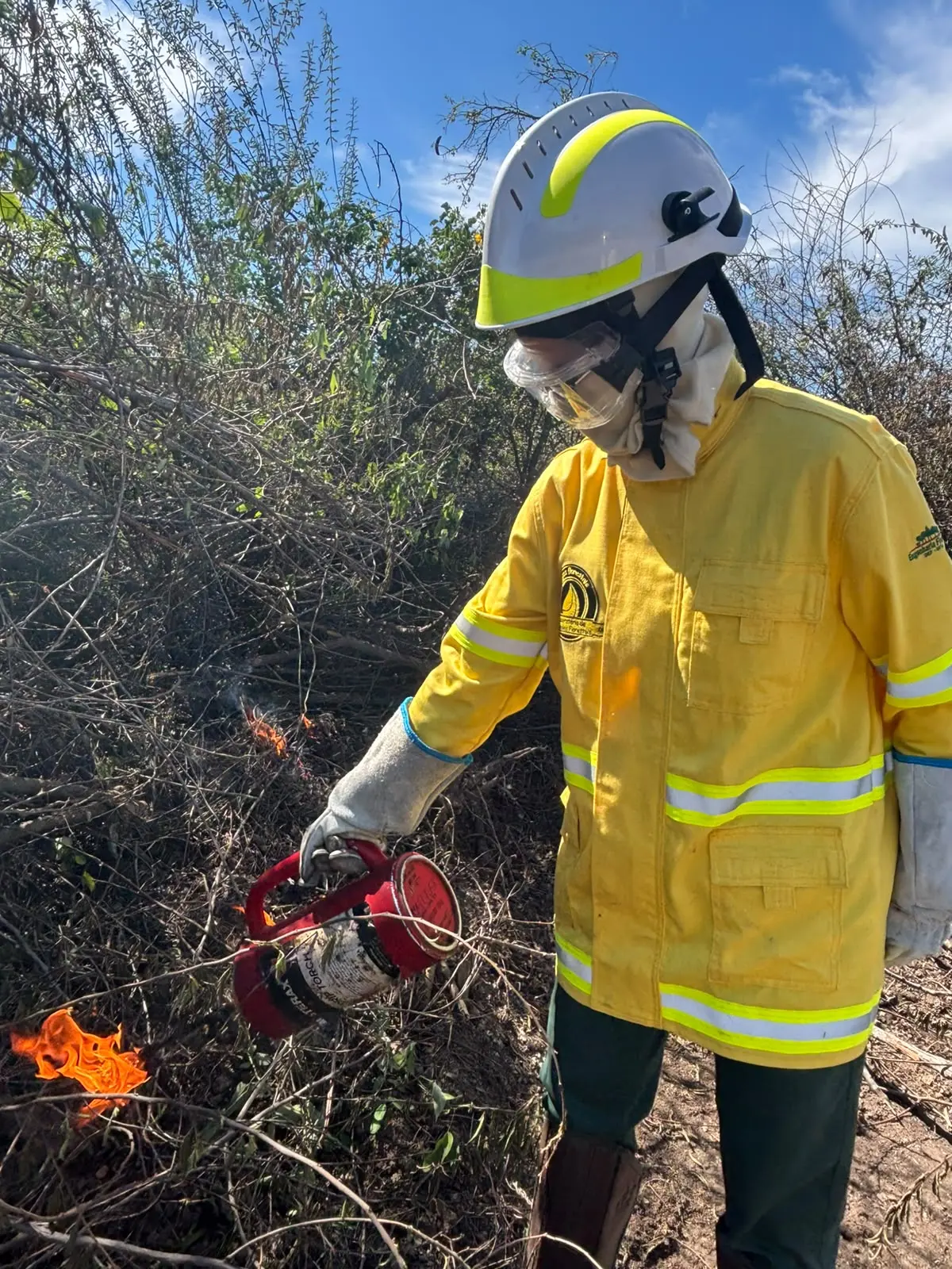


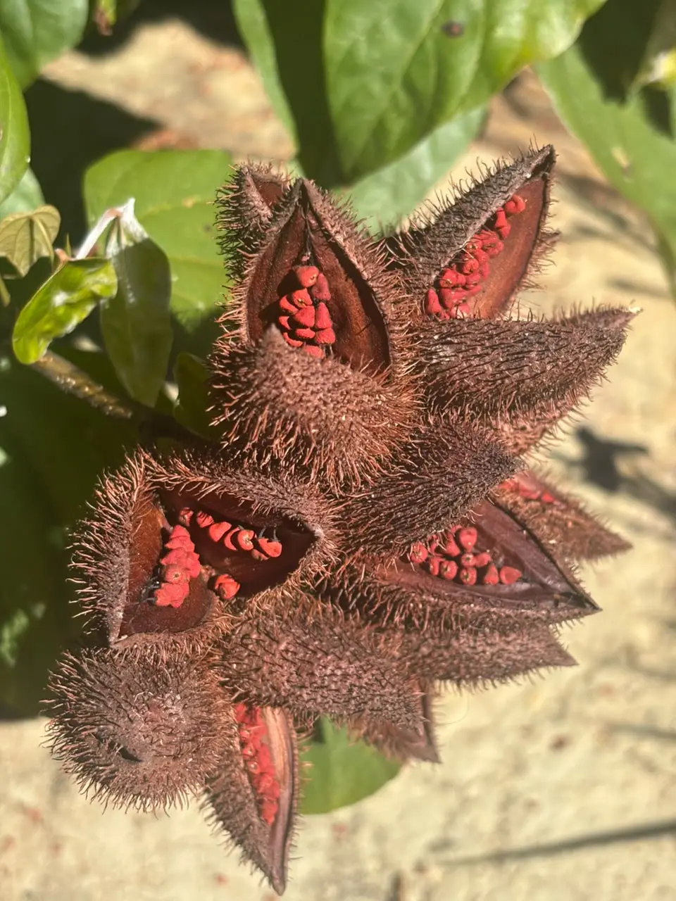



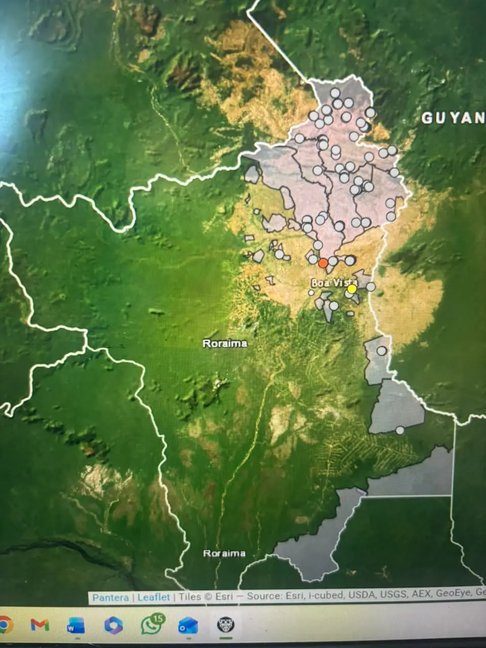


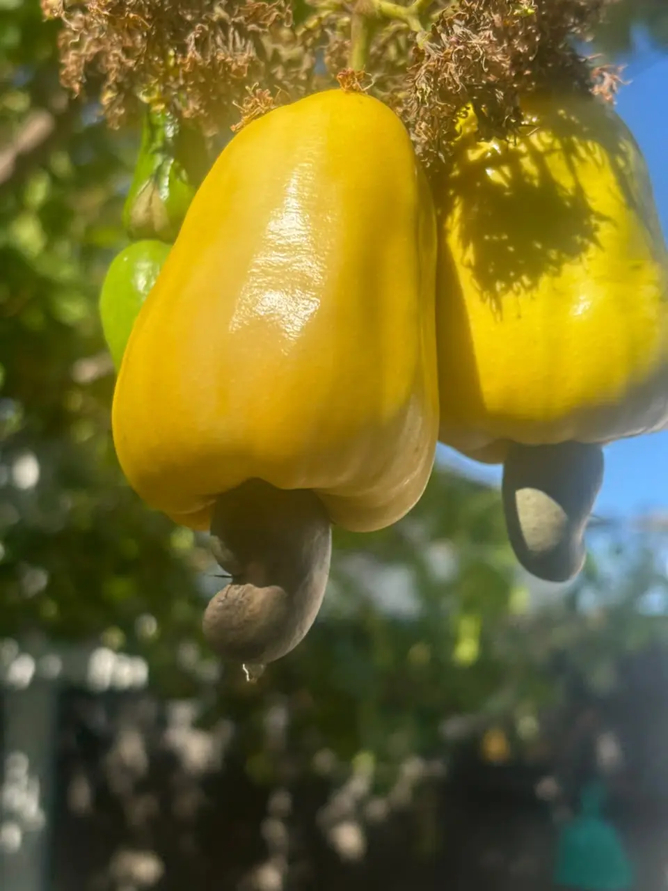





The SafeLands Program creates an integrated path to protect and regenerate Indigenous and connected territories in the Pantanal through a collaborative architecture that brings together Indigenous leadership, civil society organizations, technology partners, public institutions, brigades, restoration initiatives, and community networks.
Its strength lies in the combination of complementary capacities. Terra Brasilis contributes to territorial governance, biodiversity conservation, and Indigenous fire management. Neotrópica strengthens ecological restoration, nurseries, regeneration, and community engagement. Umgrauemeio and Pantera provide the technological layer for real-time monitoring, territorial intelligence, alerts, and operational coordination. Indigenous communities and brigades remain central to knowledge, decision-making, and the daily protection of their territories.
Over a 4-year cycle, SafeLands can become a practical and replicable model for democratic, Indigenous-centered climate adaptation, fire management, territorial protection, and regeneration in the Pantanal and other vulnerable landscapes.
Integration of existing efforts: Linking the Kadiwéu reserve and Rio Negro State Park to other protected areas' monitoring systems into a single network makes the proposal more efficient and scalable.
Use of AI technology: The Pantera system adds innovation and credibility, showing that the project is not just about hardware but also advanced analytics.
Clear geographic impact: Covering 2 million acres and expanding to 6–7 Indigenous Lands emphasizes both scale and inclusivity.
Solid co‑funding: The 7 million Reais already committed demonstrate strong backing and reduce risk for new funders.
Cost-effectiveness: The overall program cost per Acre is around one pound, over a total area of 2 million Acres over a 4-year cycle (£0,25/Acre/year) for monitoring Indigenous Lands and Protected Areas.
Indigenous leadership: Indigenous communities will be involved in monitoring, decision‑making, and benefit‑sharing.